3/27 Wednesday
We were up at 7 for the free hotel breakfast downstairs. It wasn't too bad, actually, all you can eat being the important part. We had a shuttle arranged at 9, and milled around talking to other thrus in the lobby until it was our time to go. Once on the trail we went slow and only intended to go 9 miles to Bly Gap, which was just over the GA/NC border. It was a nice sunny day which made for pleasant walking. At Bly Gap that night there were at least 20 other tents besides us. All thrus.
3/28 Thursday
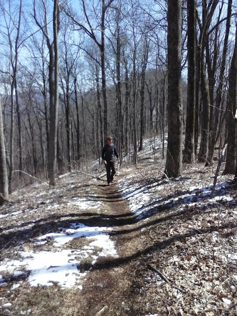
In normal fashion, we were the last to leave the campsite in the morning. The first 3 miles of the day were tough and we went slow. In parts of the trail the snow had been compacted to ice, and we had to watch each step. In some places there were drifts over a foot high. This is all on the slope of the mountain, mind you, and the downhills were worse than going uphill. We witnessed 3 people quit today, just fed up with it and the weather. We have also seen hikers with 3-foot long machetes, fishing poles, and camp chairs. Crazy. We went up and over Standing Indian Mountain in the afternoon, and made our way to Beech Gap for the night. There were about 10 thrus camping here as well.
3/29 Good Friday
We both slept well and got up, had breakfast, and were not the last to hit the trail for the day. We had an easy 10 miles before we got to Albert Mountain, which was a hard climb. There was also no wind, a nice change. In the morning, we walked over what was once mud, but now is frozen concrete with the impressions of the boots of hikers in front of us. We leave no footprints of our own this morning. The trail alternates between this frozen mud on which you have good traction, and layers of compacted snow turned to ice, on which you have no traction. We pass through rhododendron thickets, which provide cover and allow the snow to linger. All in all, the nice weather this morning overcame any issues with the trail.
We reached Albert Mountain and knew what we were in for, because we remembered it well from our 2005 hike. The trail goes straight to the top following the ridgeline, but it is short. It emerges at the base of a fire tower. We took it slow but I remember it being worse than it was. It was snowing at the top. Downhill after that we passed the next shelter, got water, and made it to Glassmine Gap for the night. We are by ourselves. We found a small tentsite in the thicket large enough for our tarps. We are on a ridgeline not more than 30 feet wide, in between two peaks. There is not much flat ground here. We tried to get to a lower elevation, but are still at 4200'. We are both warm and dry and plan on making it to NOC on Monday, where we can get food and a shower. Three days after that we will be at Fontana Dam, the southern entrance to the Smokies.
Also, we passed 100 miles today. We are now at 103.3 mi.


What is NOC? I cannot find that in the book. Please advise the ignorant. Thanks for the updates. Have you see Georgia Bulldog?
ReplyDeleteNantahala Outdoor Center
DeleteRock-Stars!!! keep it up.
ReplyDeleteCongrats on hitting 100 miles!
ReplyDelete