Appalachian Trail

The Appalachian Trail is a 2185.9 mile long footpath stretching from Springer Mountain, Georgia to Mount Katahdin, Maine. Every Spring, hikers from all over head to Georgia and start walking north, attempting to hike the whole trail in one season. This is called a thru-hike. Only about 25% make it all of the way.

This blog follows our progress as we hike north.

Tuesday, April 23, 2013

Erwin, TN

So it has been awhile since we have had a cell signal, electricity, and time to update this blog all at the same time. We appreciate all the comments, both here and on facebook, please keep them coming, it keeps us going! Apologies for not always being able to respond.

Our last update left us at Fontana Dam, the southern entrance to the Smokies (GSMNP). We were fortunate in our timing to make it through the 70 miles of park in 6 days without a drop of rain. I didn't think that could happen. A major hurdle in your northbound thru-hike is getting through the Smokies, as they contain the highest point on the entire trail (Clingman's Dome @ 6655'), and so the weather can be a little bit harsher up there, especially in Spring. We were lucky. When you enter the park you gain the ridgeline and stay up there for about 70 miles, and there is nowhere to escape bad weather except at one place in the middle at Newfound Gap. We did have difficulty on the northern slopes of Clingman's Dome and Mt. Collins, as they were covered in snow and ice and going steeply downhill as the trail does posed quite the challenge. We entered the park on 4/6 and made it to Davenport Gap, the northern exit, on 4/11. We both liked the northern half of the park better, as the trail goes along more knife-edge ridgelines and you have many more views on both sides of you as you straddle the TN/NC border.

I have failed to mention up until this point that in a way there have been three of us along on this trip. One of Wander's lifelong friends, Toni, passed away two months before we left for the trail. One of her favorite places was the Smokies, and we have been carrying some of her ashes since the beginning of our hike with the intention of spreading them there. When we reached Newfound Gap, in the middle of the Smokies and a favorite spot of Toni, we did just that and said a little prayer for her. So, if you ever find yourself at Newfound Gap, be sure to say hello to Toni.

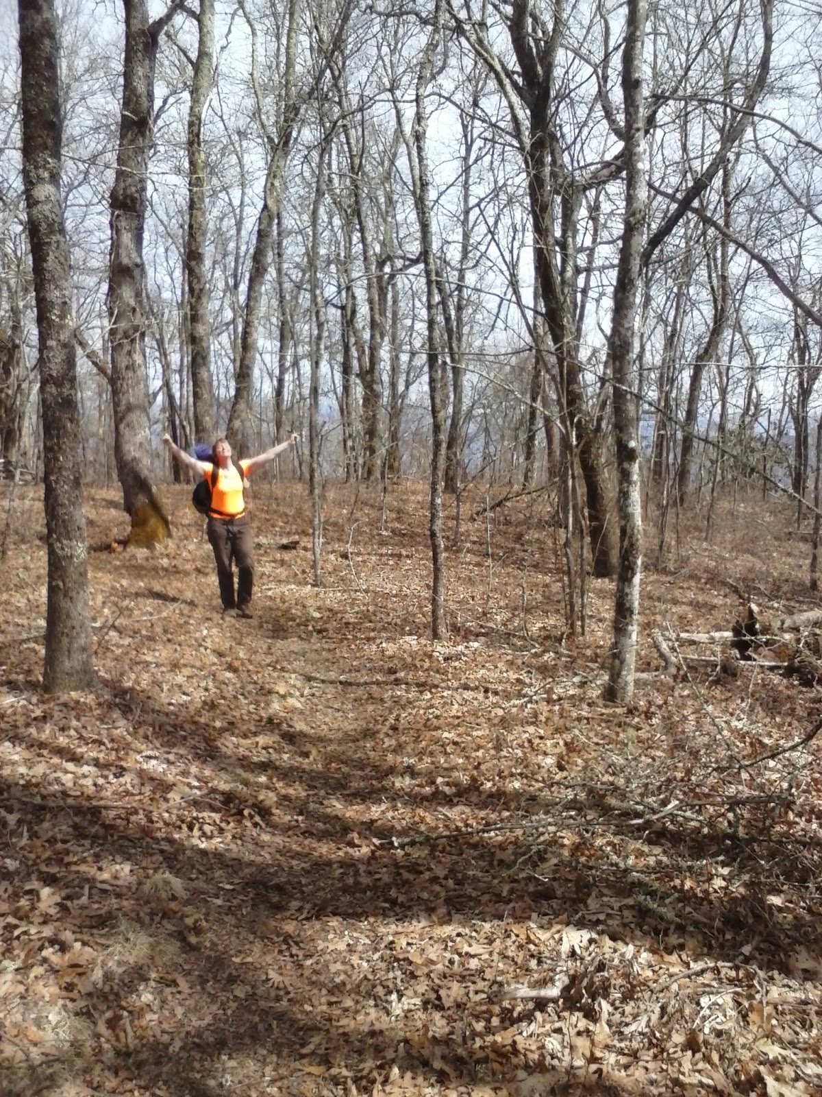
Leaving Davenport Gap, we had basically 3 days to Hot Springs, NC, and then 6 days to Erwin, TN. Wander and I had gone from Springer to Erwin back in 2005, and we also did a shakedown trip from Erwin to Davenport Gap in 2004, so this was actually the third time that we have walked this 100-mile stretch. Somehow I don't remember this section being so tough, but it is kicking everyone's butt. We are excited to finally get past Erwin. We stopped by Standing Bear Hostel for a night, and spent a day at Hot Springs, the first true trail town that you walk directly through. We passed over the first bald mountains along the trail, Max Patch and Big Bald the more impressive ones.

On Monday morning, 4/22, we made it to Erwin, TN, mile 342. As we go along, many of the other thru-hikers pass us along the trail, as they are younger and faster, so a few days ago it was surprising to us to meet again a group that we started with back in Georgia. We assumed they were a few days in front of us. There is some type of Norovirus going around on the trail, getting you sick for 24-48 hours, and a lot of hikers are getting this.  That is what happened to this group, and they were just getting back on the trail after spending three days in Erwin. Many thru-hikers are catching this virus, but so far Wander and I have escaped this plague. We knew about it in advance of this section, and have been especially careful. So far, so good.

Unfortunately, Erwin is spread out for the hiker, but we managed to do all of our town chores on one trip from the motel. This morning I am trying to scramble to remember the events of the last two weeks and write them down here before our shuttle back to the trailhead arrives. At least I get to use the motel computer and a real keyboard! We are a little bit behind our posted maildrop schedule, but are still looking at getting to VA by the beginning of May. We have been on the trail over a month now but it does not seem that way. That is about all for now, as we still have to pack up and get out of our room. The end of TN/NC is in sight...

Tuesday, April 9, 2013

Fontana

It has been awhile since we have had cell signal, so briefly here are the days leading up to the Smokies:

4/2 Tuesday
We left NOC and had a 3000' climb up to the top of the ridgeline. Several good views today. Camped at Locust Cove Gap with about 8 other thrus. We caught up with Bulldog here.

4/3 Wednesday
Previously while at NOC we had arranged a shuttle for our friend Mudpuppy to come and join us on the trail for two days and one night. It was his idea. Really. We had been planning on staying at The Hike Inn, anyway, so arranged the shuttle through them. We had stayed there in 2005 and were looking forward to going there again. Anyway, Mudpuppy was due to get dropped off at Stecoah Gap at Noon this day, and we were 3 miles away. Which meant we could have a slow morning. We arrived early to find him waiting on us, along with his gargantuan pack. The plan was for Mudpuppy to accompany us for the next 14 miles, which would bring us to Fontana Dam. Somehow he managed to hoist his pack onto his back and off we went. There was a campsite earlier but it was windy there, so we made it 9 miles to Cable Gap Shelter. This left 5 miles for the next day with rain expected.

4/4 Thursday
The rain began before we were out of bed. It was a light rain but cold and none of us wanted to walk through it but we did. The heavy pack was taking its toll on Mudpuppy and along with the slippery wet trail we went slow the last few miles. We arrived at the marina where I called Jeff from the Hike Inn to come and get us. An hour later we were warm and dry in our room planning on what food to eat in town. Midpuppy took us to town for a late lunch, and then coincidentally we were visited that evening by another friend, Dan McDowell, who happened to be vacationing in Gatlinburg. He took us to town for dinner. Thanks Dan!

4/5 Friday
This was a planned zero day at the Hike Inn. We made it to town twice to eat, got our resupply box from home, and bought our remaining food from the grocery store. After we left here we entered the Smokies and wanted to get through without stopping in Gatlinburg, so that meant at least 7 days worth of food. There was no cell coverage here, and even with the preparations for the upcoming week we generally had a lazy day.

Friday, April 5, 2013

Upcoming Maildrops

For anyone wanting to send us a box of goodies.

Send by 4/16:
Mark Deebel / Kristie Collins
c/o Kincora Hiking Hostel
1278 Dennis Cove Rd
Hampton TN 37658
Please hold for AT hiker
ETA 4/26

Send by 4/25:
Mark Deebel / Kristie Collins
c/o Relax Inn
7253 Lee Hwy
Rural Retreat VA 24368
Please hold for AT hiker
ETA 5/5

Tuesday, April 2, 2013

Nantahala Outdoor Center

It's NOC, OK? I'm not going to type it again. Quiz later.

3/30 Saturday
We had light rain overnight at Glassmine Gap, but slept well. We had our usual late start and several thrus passed our camp as we were eating breakfast and tearing down. It was a nice morning for a walk and we passed Winding Stair Gap around lunchtime. There were many thrus getting shuttled in from the hiker bash in Franklin. There was also trail magic at the gap, but they had just run out of chili but we did get Easter candy. We wanted to get a little ahead in milage to stage for a short day into NOC on Monday, so we walked 15.2 miles and finally camped on the side of a snow covered mountain in desperation.

3/31 Easter Sunday
A light rain overnight made most of the remaining snow disappear. We had a clear morning with a little rain in the afternoon. Snow, ice, slush, mud, and pools of water were all prominent along the trail.
For those that asked us before we left if the trail is hard to follow, today the answer would be a solid 'no'. It is as if we are following an army. The solid black line two feet wide with ankle deep mud snaking through the forest? That's the trail. Coming down the cold northern snow covered slope of a mountain you are almost assuredly going to be walking through slush now that things have warmed up. There are times when we would prefer ice again, over the sucking mud. Occasionally a stream intersects the trail from above, and decides that it would now rather flow down the trail, forcing you to walk upstream among the ice cold water. Most of the time you cannot avoid it, as you are on the side of a steeply sloping mountain or on its narrow ridgeline, and there is simply nowhere else to go. You are either walking north or south, the only two choices available to you.
We made it to Wesser Bald shelter, getting us to within six miles of NOC for the next day.

4/1 Monday
We had a short 6 mile hike into NOC, all downhill as we descended from the mountain ridgeline to the valley floor. Here the Nantahala River has carved its way through the mountains, and we descend 2500 ft to river level.
The trail exits the forest, crosses a highway, and leads directly through the hiker paradise that is NOC. Their main business is catering to white water sports fanatics, but the steady supply of hikers coming and going makes it worthwhile to cater to them as well. There is an outfitter, restaurant, pub, cabins, lodge, hostel, adventure center, zip lines, and of couse various whitewater rafting/kayaking trips. The only thing missing is dancing bears.
We called from the mountaintop the day before and made a reservation for a room in a cabin. We could not check in until 3, so being of course hungry we went to the restaurant for lunch. Wander and I split a large Greek salad, and I had a large hamburger with onion rings along with several local beers. It was wonderful. We would later come back that night and get a pizza.
While waiting we ran into Bulldog who had just done his laundry and was headed back to the hostel where he was staying.
Our cabin turned out to be a rather cool affair. It contained 10 rooms situated on different levels and half levels. The large main room held a TV, sink, and refrigerator. The different stairways and overhead walkways gave the place an MC Escher-ish feel. Somehow it all worked, though. We stuffed our faces with more food throughout the night, watched some TV, and got to know some of the other thrus that were staying there.
We made plans for the rest of the week, and called the Hike Inn at Fontana to make a reservation there. We arranged a shuttle for our friend Mudpuppy to come and walk with us for two days before the Smokies. We also contacted another friend that happens to be visiting the Smokies right now and made plans for him to visit us at the end of the week. This will be a busy week coming up, even though we don't have to make that much milage to stay on our schedule. Our main plans for the remaining week center around how to get people to bring us food, or to bring us to food. That's all we want you for, really.
Approaching the Smokies, which contains the highest point on the trail and a continuous stretch of high ridgeline for 70 miles, you want the weather to cooperate. Especially in April. Looking at the weather, we plan to take three days to get to Fontana, two of them while hiking with Mudpuppy, take a zero day on Friday when it is supposed to rain, and then start the Smokies on Saturday. We will see.

At mile 137.3