Appalachian Trail

The Appalachian Trail is a 2185.9 mile long footpath stretching from Springer Mountain, Georgia to Mount Katahdin, Maine. Every Spring, hikers from all over head to Georgia and start walking north, attempting to hike the whole trail in one season. This is called a thru-hike. Only about 25% make it all of the way.

This blog follows our progress as we hike north.

Tuesday, December 25, 2012

Sewing

December 2012 - Sewed a Ray-Way backpack for Wander after I completed mine.  I barely got it done in time but was able to box it up as a Christmas present.


It weights about 9 oz, less than half of our old backpacks.

Monday, December 10, 2012

Dehydrator

We have decided to supplement our diet on the trail by sending ourselves dehydrated food from home.  Vegetables and some pre-made meals, stuff that we can't buy in the towns along the way.  I won't be mailing myself GORP.  Aiming to supply about 50% of our food for the trail.

Mushrooms ready to dry.

Friday, November 30, 2012

Ray-Way Backpack

November 2012- Sewed a Ray-Way backpack kit that I purchased online.  2600 cu in, similar in design to the Breeze, only larger.  Less than half the weight of our current packs.

Saturday, October 20, 2012

Survival of the Sheltowee

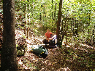
The beginning of the trail.

We successfully made it the 144 miles to McKee, KY and have been home for nearly a week.  Twelve days in the woods went way too fast.  The day before we planned to leave, I found out my bank account had some fraudulent charges so I had to cancel my debit card.  I took some cash with me and a credit card that I would later learn was expired.  Along the hike at one gas station along the way we debated if we could afford a hamburger and still have enough money to buy gas for the way home.  We ended up getting two double cheeseburgers.  When we got home I had $0.81 left in my pocket and less than 1/4 tank of gas!


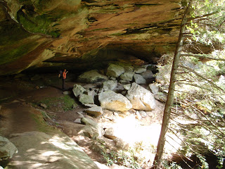
The trail in Pickett State Park.


 Overall the hike went relatively well.  We tried out some new gear, taste-tested some new backpacking recipes, and tried to remember what it was like to have nothing to do but walk.  The trail was easy compared to the AT, but had several areas with challenging blowdowns, the biggest challenge on the southern half of the trail.  The latter part of our hike contained more road walking and following ATV trails.  Other than one confusing section north of Cumberland Falls, the trail was well marked.
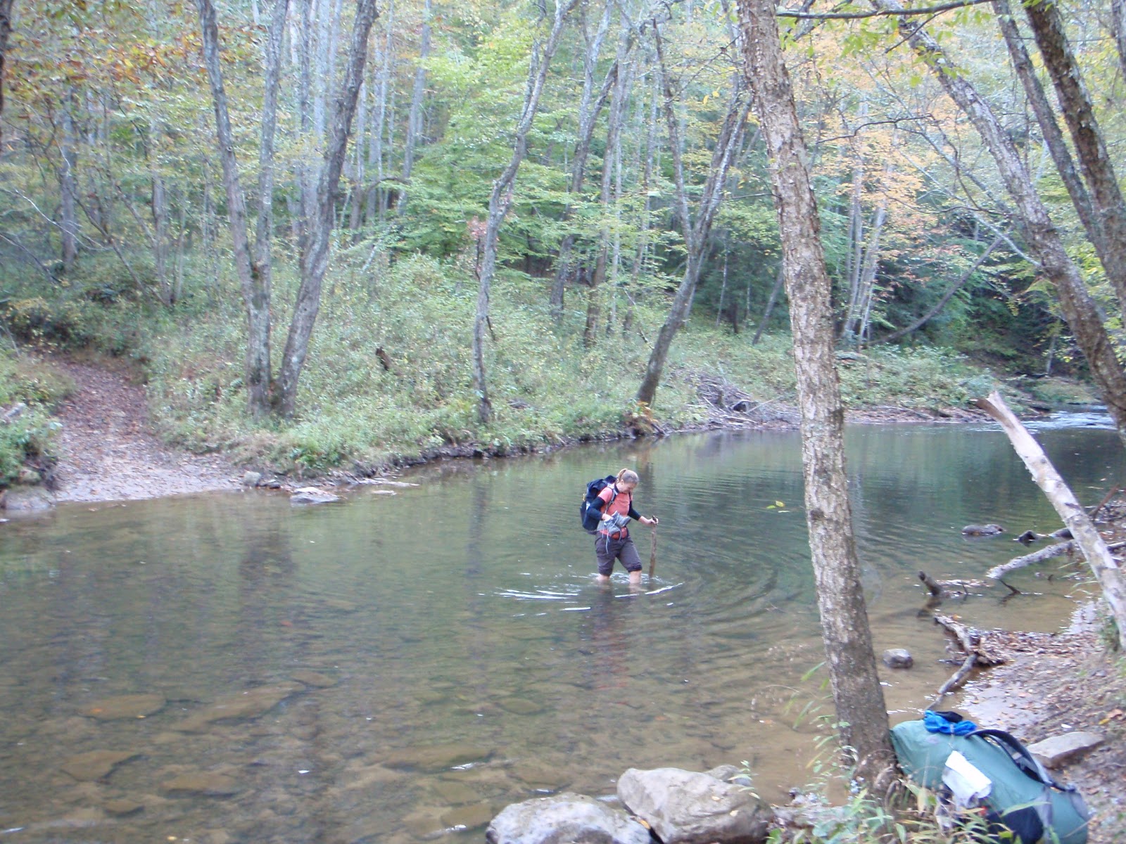
Wander demonstrates proper fording technique.
 We had to ford four streams along the way, not to mention the dozens of smaller streams that we could walk across.


Monday, October 1, 2012

Shakedown Trip Planning

Preparation.  We are getting ready to do a section hike on the Sheltowee Trace in Kentucky.  Actually it starts at Pickett State Park in TN and ends north of Morehead KY for a total of 280 miles.  We are only doing the southern half of the trail, 140 miles or so, ending at McKee, KY.  Using every last minute of vacation time I have left we have arranged to spend 12 days on the trail.  That means we have to average 12 miles per day.  Hopefully not too ambitious for this trail.  We have not been hiking for awhile.

We are starting this hike with six days of food.  Today I mailed another six days worth ahead to the Holly Bay Marina where we will pick it up on our way through. We have never mailed food to ourselves before, so I hope this works.

Only 171 days until we start the AT!