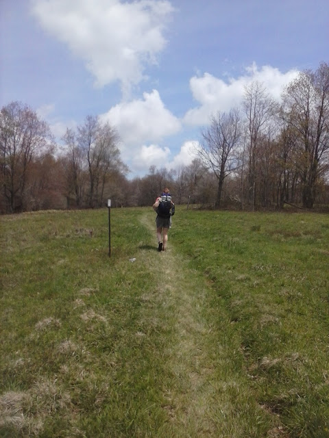
Happen to have cell reception at camp tonight, so here is a brief summary of Virginia so far:
5/3 Friday - 15.6 mi - left Damascus about Noon and made it to Lost Mtn Shelter.
5/4 Saturday - 17.3 mi - went over Whitetop Mtn, very windy. Then went over Mt Rogers, highest point in VA. Grayson Highlands was after that, which has wild ponies running around. Windy, rainy day. Made it to Wise Shelter and mile 500.
5/5 Sunday - 17.6 mi - Walked in rain all day. No hard or long climbs today, but got soaking wet and cold. Camped off blue-blazed trail. Too cold and tired to cook dinner, just wanted to get warm in our sleeping bags.
5/6 Monday - 13.0 mi - Didn't leave camp until Noon, but were able to dry out a little from last night. Had easy walk to Partnership shelter, which is special because you can order pizza from it. Which is exactly what we did and ate a large pizza savagely.
5/7 Tuesday - 11.6 mi - We had a shorter day into Atkins where we had a resupply box waiting for us at the Relax Inn. We had a few people warn us about the Relax Inn, but their standards were obviously higher than ours. Compared to another muddy night in the woods, it was paradise. We found 1 lb hiker burgers and I found some beer, so we were ok. The only downside was that we had to complete our resupply only at a gas station. Snickers for breakfast it is!
5/8 Wednesday - 15.1 mi - Ate breakfast at the Barn, the one and only restaurant, and had a slow, wet, muddy climb out of Atkins. It came with some nice views and easy climbs, but later in the day we had stream crossings swollen from the rain. At one point we finally had to give up any hope of dry feet and just walked through the streams, they were too many and too wide. Made camp at Lynn Camp Creek next to the roaring stream.
5/9 Thursday - 17.9 mi - We were rewarded a nice sunny day to go over Chestnut Knob, a long ridge with scarce water. The climb to the top was not bad, as it contained some open fields and views, but the climb back down was very rocky and painful. We made it to Jenkins Shelter for camp. We have been traveling along long ridgelines and water sources have been scarce in this section.
5/10 Friday - 16.0 mi - We had an easy day today as far as elevation change goes and were glad to be past the rocks of yesterday. Had nice weather most of the day until the last hour. A thunderstorm came, preceded by 3/8" hail that covered the trail in ice until it was melted by the rain. Continued to walk hoping for the rain to stop before setting up camp. Almost worked. We had a break in the rain for us to setup and eat dinner (spaghetti-again), but after dark it is trying to rain.
Currently at mile 591.2


Thank you for the posts and the pictures. Bull dog will be in Daleville on Wed or Thursday The 14th or 15th. I mailed him a box. It had a poncho in it. He said he was a drowned rat. Be safe.
ReplyDeleteJust stumbled across your blog and am enjoying your entries. All of you in the class of 2013 are amazing with your endurance of the constant severe weather you have endured. Enjoy every day, it is worth it, even the crappy one's. If you can make it to Harper' Ferry, you can make it to Katahdin. The best is yet to come. Knowing the trail, and understanding the psyche of a thruhiker, one is able to identify the people who will finish. You have the right mentality to finish. It is true, it is all in the mindset. When I look at your pictures and see you smiling and enjoying yourselves, I know you want to be there for your own experience, and not just for the sake of making the miles to the end. Hike on, I look forward to following your trek.
ReplyDeleteI had to go back and re-read your blog site in all its entirety. I'm impressed that you had sewn much of your gear. I was looking at your schedule. Unless you are taking a big break, with taking a lot of zero days, you will be done by August 20th; maybe Labor day, if your are really taking your time.
ReplyDelete